

Welcome home

Learn how to apply
Start strong and go further with IU. Find out how to become a Hoosier.
Explore degrees
Turn what interests you into a career you’ll love. Discover the majors and programs to meet your goals.
Visit Bloomington
Once you step foot on campus, you’ll be hooked. Plan your visit to IU.
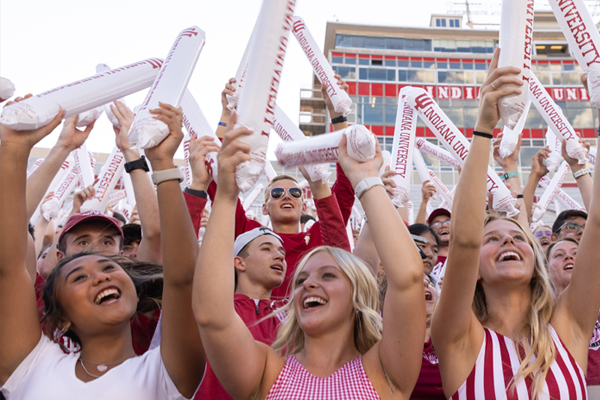
Get in on all the Hoosier hype
IU is a nonstop college experience you don't want to miss. Get resources on applying to IU, learn about campus events, and discover what it means to be a Hoosier.
Sign up today
The first time I stepped on campus I felt the culture and care that everyone talks about. Now, as a resident assistant, I get to work directly with freshmen and watch them grow. It’s a very rewarding experience.
Jessie Schuster Class of 2025, Majoring in Exercise Science
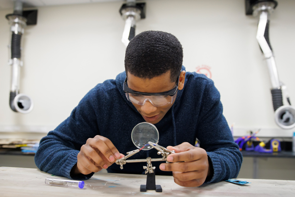
The best academics
World-class degree programs, from business and health to STEM and the arts. An education that is bold and innovative. Find it all at Indiana University.
Find what interests you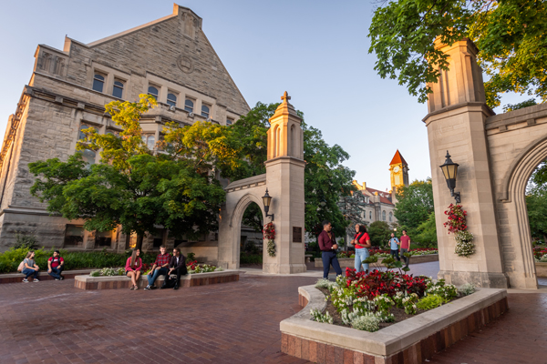
The best campus and community
IU and Bloomington (aka "B-town") welcome everyone and every opportunity to grow. Find inspiration at every corner—on and off-campus.
Discover Bloomington
The best opportunity to rock the world
Refine your skills, build new ones, and be prepared for anything. Your degree is THE stepping stone to your dream job. IU grads start their lives with high-paying salaries in careers shaping tomorrow.
See where your interests can leadHoosiers making their mark

IU programs help alleviate teacher shortage
Innovative education career pathway programs at IU address the state's teacher shortage, helping aspiring educators become licensed teachers.

$138M Lilly Endowment grant to accelerate bioscience
The grant will support IU's initiative in advancing human health by establishing IU LAB, a state-of-the-art facility for research and development.

Increasing access to care statewide
IU is improving healthcare access through outreach, focusing on rural communities and ensuring Hoosiers have the care they need.
Explore IU
IU Admissions
Ready to find out more about the university or get started on your IU application? IU Admissions can help you get started.
Explore cost, financial aid, and scholarships
Find IU Bloomington tuition and fees and explore financial aid and scholarship options.